By Megha Young, AICP
With the passage of the Bipartisan Infrastructure Law in 2021, the U.S. Department of Transportation is making safer streets a major priority to the tune of $5 billion in funding opportunities, through the Safe Streets and Roads for All (SS4A for short) program. That’s because traffic injuries and deaths on our roadways are on the rise. In fact, last year, pedestrian deaths in the U.S hit a 40-year high.
Cities or counties that stay on top of things can bring much needed funding and solutions to their local communities. A key component of SS4A is that it puts money directly in the hands of local governments, so it’s vital that municipal and county governments understand what’s at stake and what’s out there. SS4A offers two types of grants—planning and demonstration grants and implementation grants. Planning and development grants provide funds to develop, complete or supplement comprehensive safety action plans, while implementation grants fund projects and strategies identified in safety action plans to address key safety issues. Either way, you need a plan.
A safety action plan is considered to be the basic building block of your local effort. It needs to be comprehensive and address serious injury and fatal crashes, and it should be backed up by data analysis to characterize the roadway safety issues you are facing, according to USDOT.
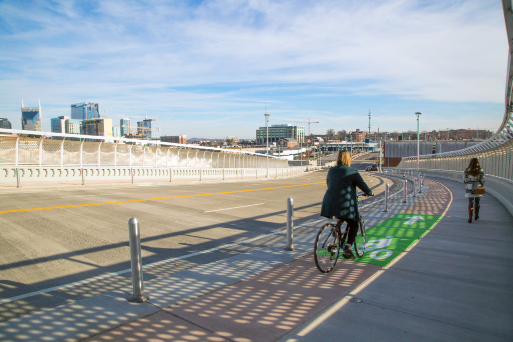
In Cobb County, Georgia, we’ve been working with local leaders who have proactively funded their own safety action plan. In the conversations we’re having, our team is weighing a variety of countermeasures. Some are as simple as leading pedestrian intervals (LPIs) at major intersections, limiting right turns on red or higher visibility crosswalks. LPIs, for instance, have been shown to reduce vehicle-pedestrian crashes at intersections by up to 13%, according to the Federal Highway Administration (FHWA). Other ideas under consideration are longer-term fixes, such as adding sidewalks, bike lanes or reconfiguring roadways through what’s called a road diet. FHWA has found that bike lanes can reduce total crashes on urban four-lane undivided collectors and local roads by up to 49%.
Consider what other cities are doing. Last year, the New York City Department of Transportation released a study that evaluated data on crashes, injuries and fatalities before safe streets improvements were completed. The study showed major reductions (30% or more) in serious injuries and fatalities for all roadway users after improvement projects such as road diets, pedestrian islands, curb and sidewalk extensions, and leading pedestrian intervals. In 2020, the City of Seattle lowered speed limits on most major streets to 25 mph and installed 2,500 new speed limit signs. Data from case studies conducted in five neighborhoods show a 20-40% reduction in the number of crashes in areas with the new 25 mph speed limit signs.
Here at Gresham Smith, we worked with the Atlanta Regional Commission (ARC) on its Regional Safety Strategy, which was released in 2022. The goal of the strategy is to provide a unified framework for a proactive, data-informed approach to safety management. As a part of the team developing the strategy, we contributed to the plan and helped design a series of before and after “Safe Street” visualizations depicting high-risk scenarios and application of proven safety countermeasures to illustrate how infrastructure recommendations fit into various contexts and settings.


Caption: Gresham Smith produced a series of graphics for the ARC Regional Safety Strategy that demonstrate before and after views of how various safety countermeasures can lower the risk to residents.
Develop a diverse stakeholder group. The best plans incorporate feedback from every type of roadway user. Improving roadway safety doesn’t and shouldn’t happen in a silo. It is critically important to include a wide range of local government and community representatives that have knowledge of your community’s safety issues and who observe and/or experience those issues on a daily basis. This might include first responders (fire, police, EMS, etc.), public works agencies or departments of transportation, schools, transit providers, and organizations that represent historically disadvantaged communities, among others. Collectively, these stakeholders can guide development of your safety plan, identifying issues and potential solutions to complement data-informed analysis.

Incorporate equity. When it comes to designing safer streets, equity must be top of mind because disadvantaged communities are disproportionately impacted by the rise of pedestrian injuries and deaths on roadways. Low-income communities spend a higher proportion of their annual income on transportation than wealthier communities, and the neighborhoods they live in have historically received a lower share of investments in safer, multimodal transportation options.
In Kentucky, we are working with the Kentucky Transportation Cabinet, Kentucky Office of Highway Safety and the City of Louisville to conduct road safety assessments with a focus on vulnerable roadway users (i.e. pedestrians, bicyclists and transit riders). Many of these assessment sites are in regions of the city categorized by the Justice40 Initiative as disadvantaged communities. This designation recognizes communities most impacted by climate change, pollution and environmental hazards, and it elevates their priority for projects to address gaps in transportation infrastructure and public services. The safety assessments study crash history, analyze operations, document site conditions and develop implementable improvements for enhancing the safety of the prioritized users. The project aims to deliver safer and better infrastructure in these communities that increases mobility to eliminate barriers.

Use data and technology. Planners have always had crash studies and anecdotal evidence about where the problem areas are, but with MPATH, Gresham Smith has developed a revolutionary, patented approach that quantifies how people experience places. By analyzing heart rates, we are able to tell if users are at ease when walking, biking, or crossing the road, or where traffic, narrow infrastructure, or other factors may contribute to higher stress levels. MPATH effectively measures levels of stress and comfort by spatially analyzing community-shared biometric data from modern wearables. It enables the identification of critical pain-points, which are often indicative of potential safety issues, confusing routing, and other aspects of the built environment that make it more difficult to walk or bike.
This approach is currently being applied to the Vision Zero program in Denver, Colorado. The local team is using MPATH as the basis for community engagement and involving them in how the safety projects are developed. Using the platform allows for direct engagement on both the passive side—sharing their biometric, stress-related data—and through active participation, to help the team learn more about their specific concerns and desires for the safety projects.
Developing thoughtful plans for improving safety requires taking a deep dive into the data, considering equity throughout the process and engaging with a diverse group of stakeholders. If you follow these steps, you will be well-positioned for making a case for federal safety dollars for your local design projects.