Giving the Community a Choice
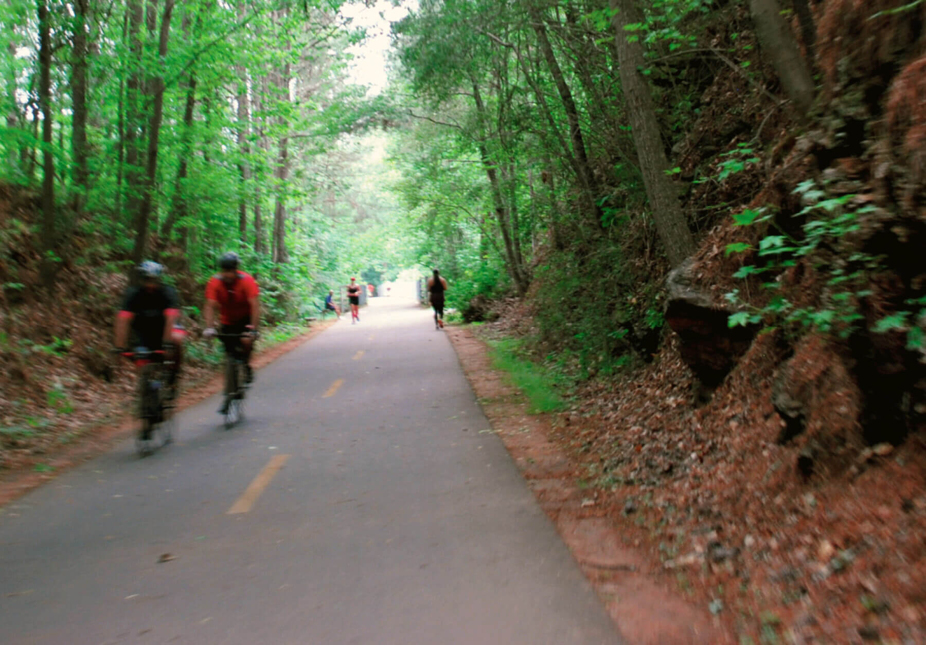
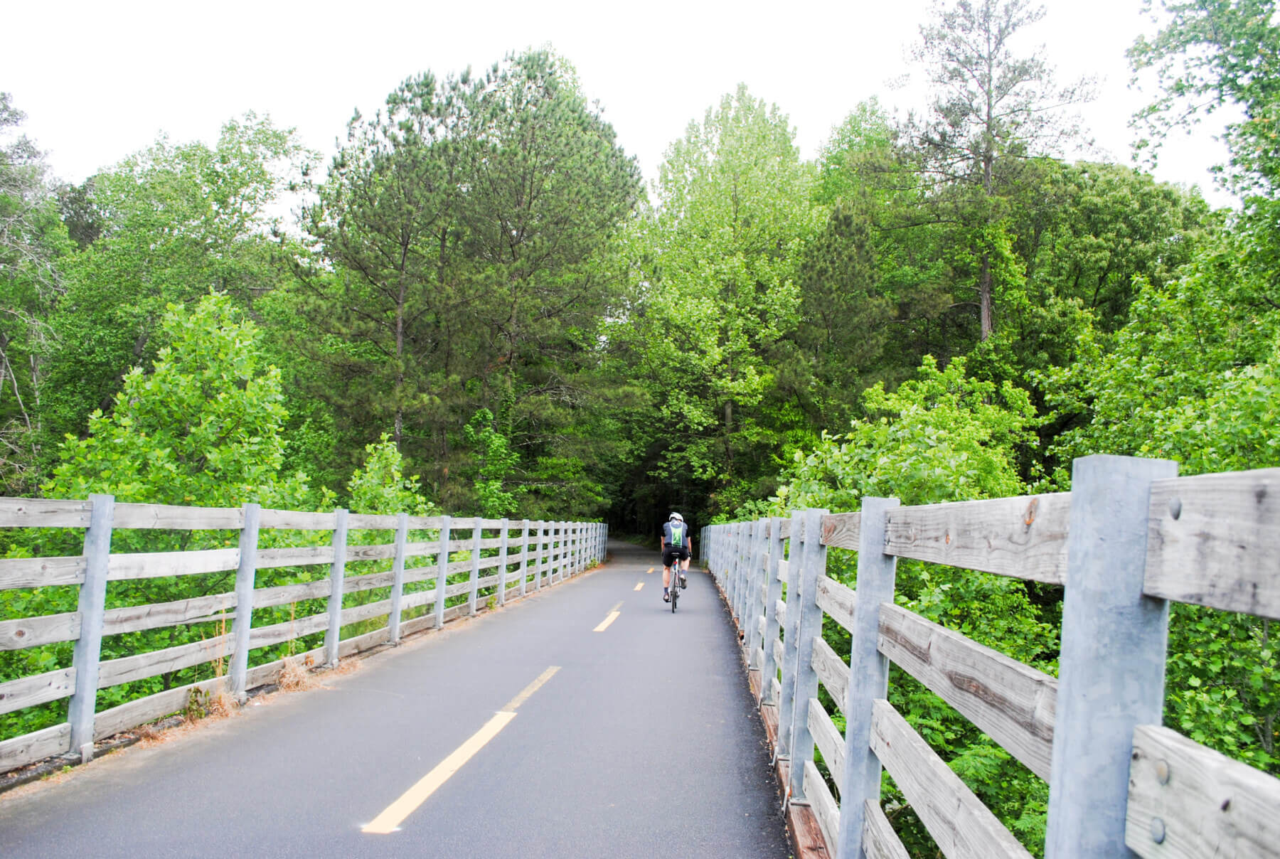
Although Cobb County has been building a trail network for many years, it has been piecemeal in nature without a central strategy or guiding document. Providing a cohesive vision for an interconnected trail network, the master plan guides the planning and development of new trails and greenways to enhance access to key destinations such as parks, schools and activity centers. Simply put, the plan gives people a greater choice in how they get around.
Enhanced Access & Connectivity
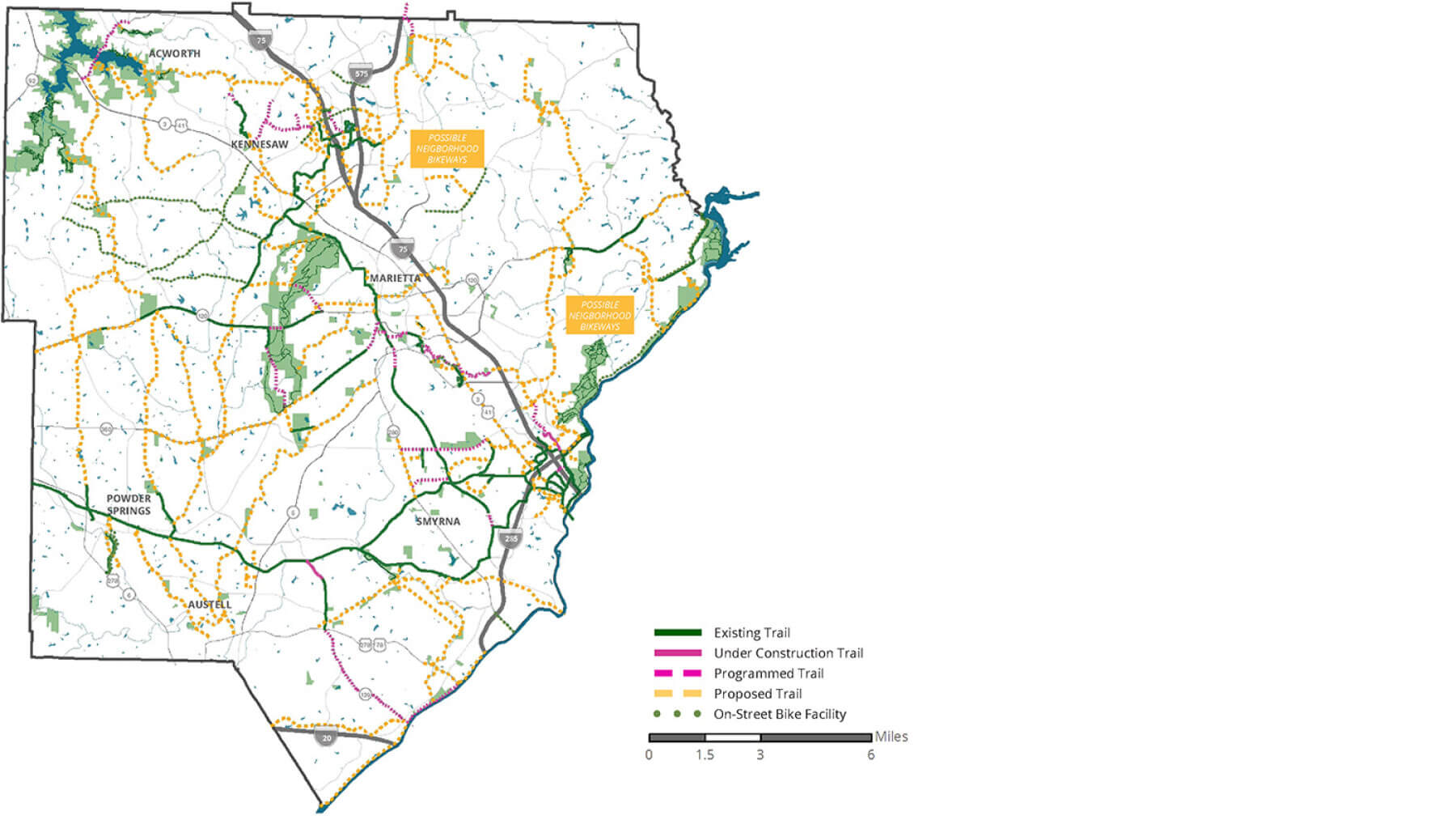
The document includes 200+ miles of proposed trails, which represent the long-term aspiration of creating a vast, interconnected network across the county and beyond to bolster the regional network. This unified network will enhance access as well as connectivity in all six cities and three community improvement districts (CIDs) within Cobb County. It will also strengthen connections between lakes Acworth and Allatoona, as well as Kennesaw Mountain and the Chattahoochee River, by filling gaps in the existing trail network.
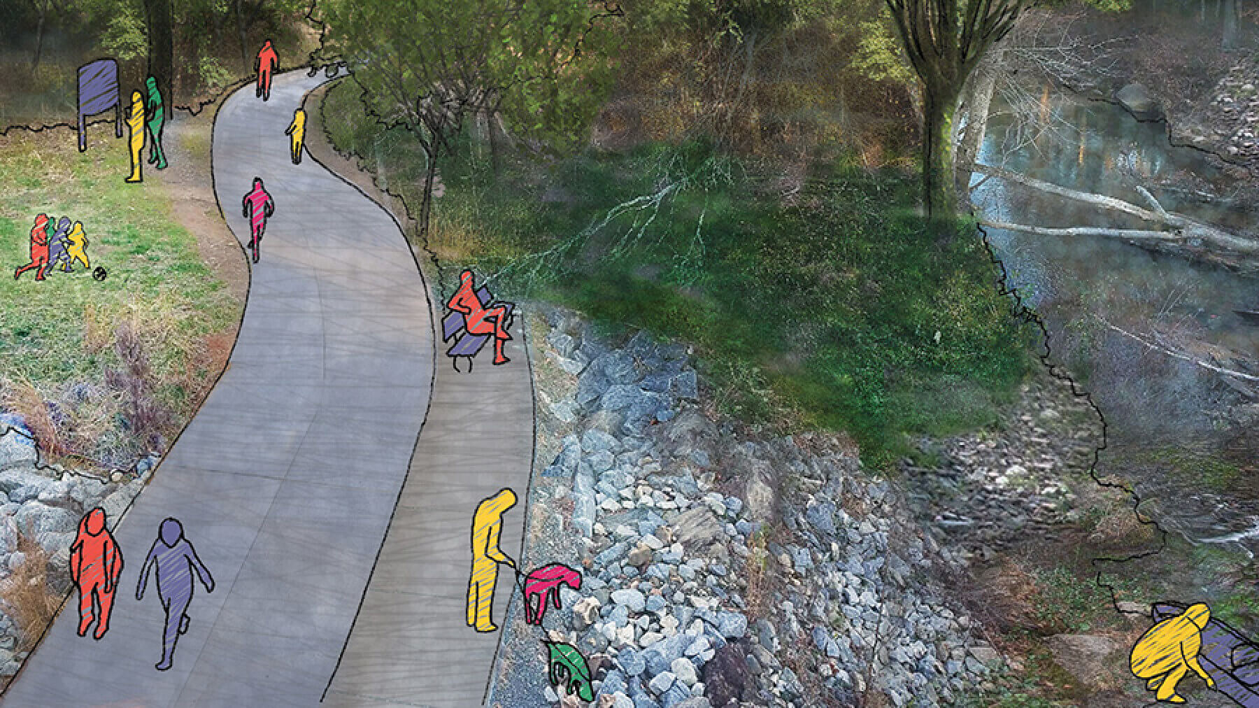
Whittling Down the List
When this planning effort began, dozens of trail projects had been identified in previous plans and studies. Gresham Smith was challenged with refining this list to a set of trail projects that represented the desires of the community, was implementable in terms of time and available funding, and had support from County, City and CID leadership. We ultimately recommended eight priority projects for the County to focus on over the coming years. These projects will provide significant benefit and value to residents while aligning with the County’s desire to spend its tax dollars wisely.
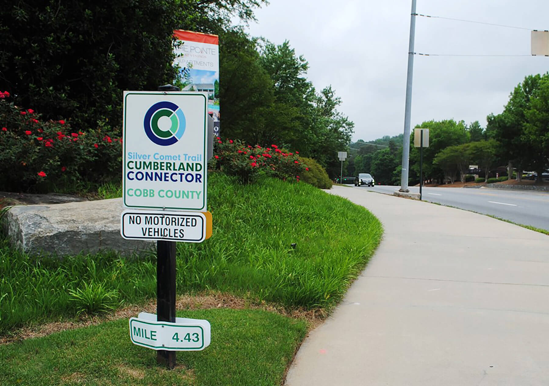
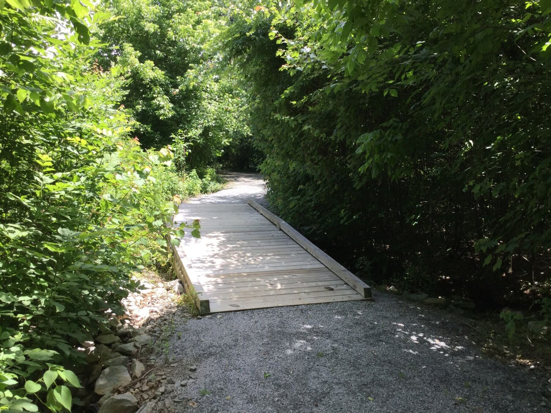
Creating Better Connections
Cobb County’s existing Mountain-to-River Trail is comprised of several trail projects that connect Kennesaw Mountain—the site of a National Park and Civil War battlefield—to the Chattahoochee River. Several portions of the trail have been completed while others are nearing completion. Gresham Smith expanded on this concept by proposing an extension of this system to Lake Allatoona as well as parklands that are managed by the U.S. Army Corps of Engineers.
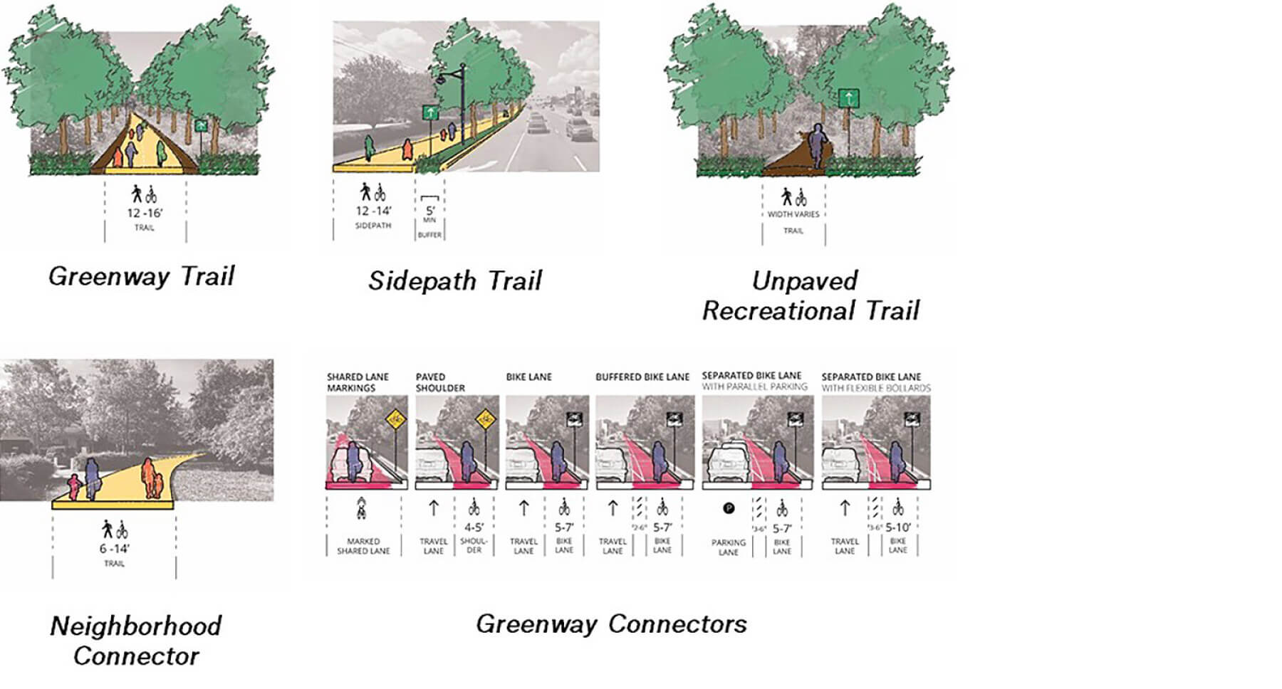
Context Matters
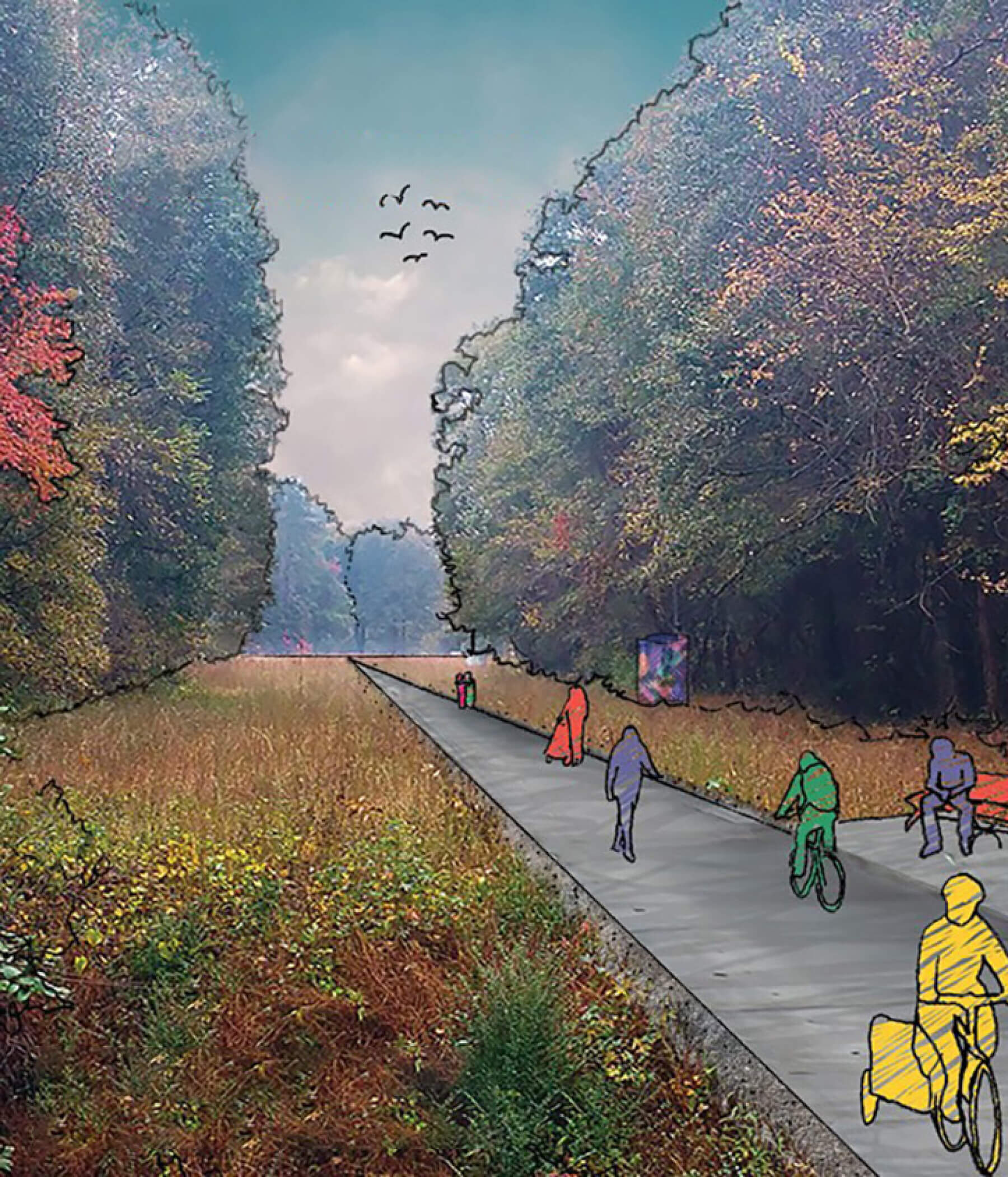
Oftentimes, multiuse trails are lumped together as off-street facilities without regard to context or setting. The master plan differentiates trail typologies based upon factors such as user types, the setting and potential conflicts. It provides design guidance for both on-street and off-street trails, while distinguishing between the types of environments in which they’re located, and how they might be built to maximize comfort, safety and respect for the surrounding environment.
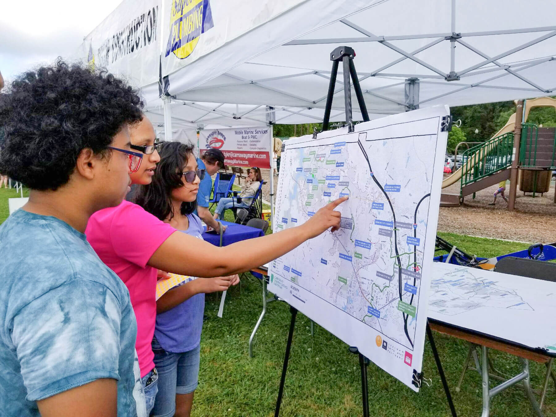
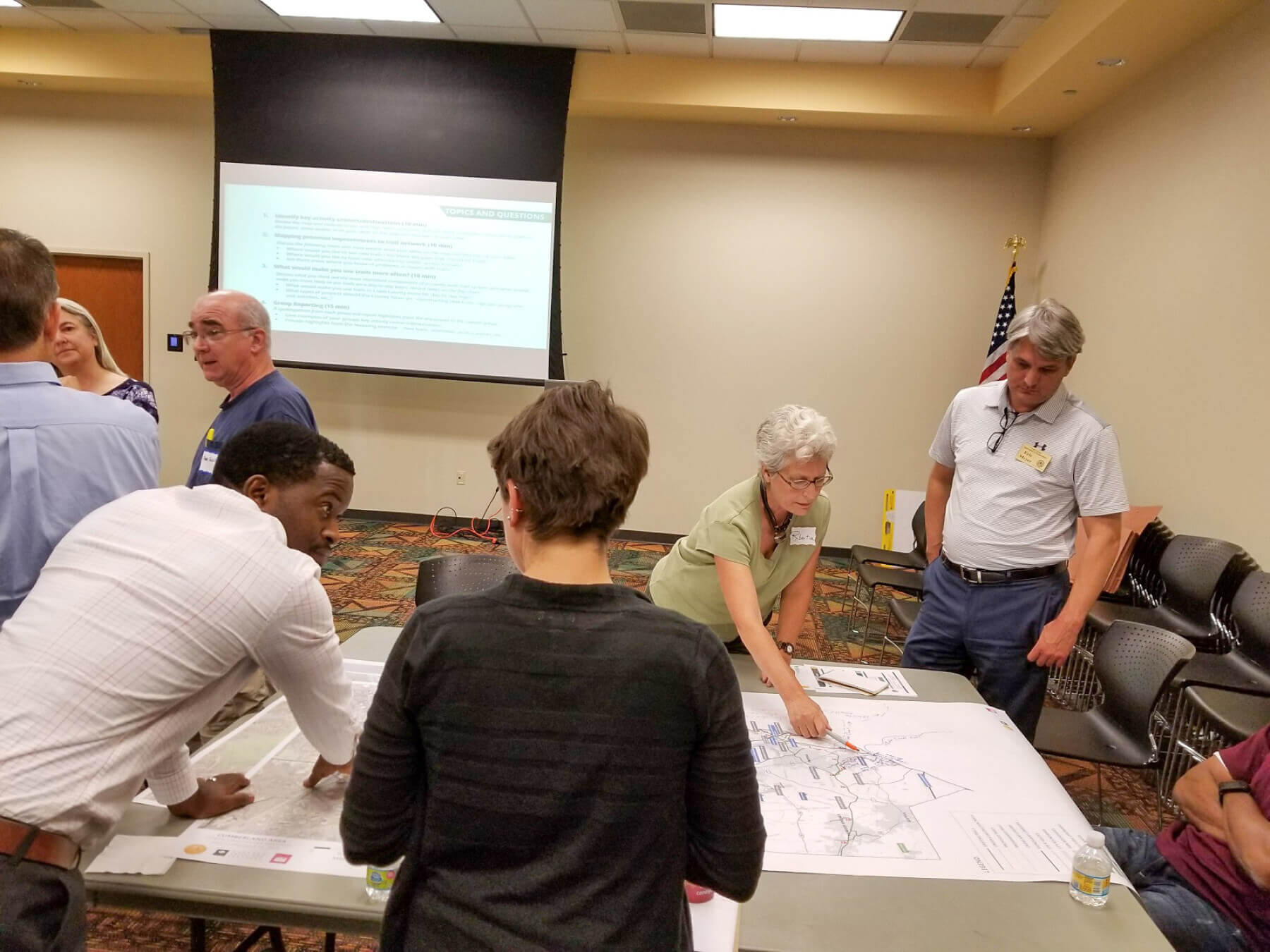
Getting Engaged
Throughout the project, we facilitated multiple activities to engage our client, key stakeholders and the community at-large. We worked with each of the six cities and the three CIDs within the county to incorporate their priorities for the future and to build upon and expand their projects. This process included attending community festivals, in-person intercept surveys, biking and walking tours, and an interactive, online website where people could map their suggestions for greenways, trails and access points.
