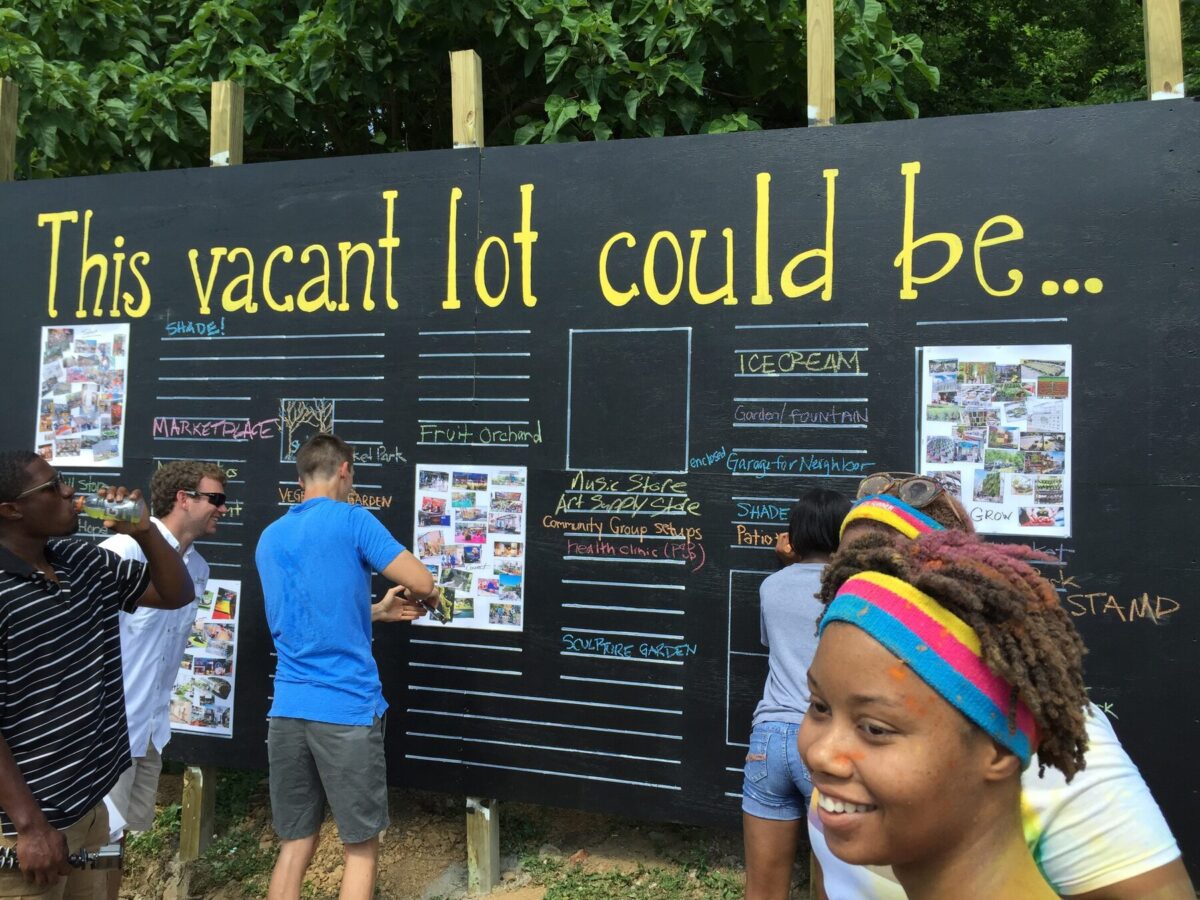
Every year, the third week in March is celebrated as National Surveyors Week, a specialty event dedicated to acknowledging those who map, measure and model the natural and built environment. Land surveying has been—and still is—essential to the world around us. Ultimately, the data acquired from surveying is what is used by architects, engineers and designers to construct our communities.
In honor of National Surveyors Week this year, we want to shed some light on the profession and where it’s headed. So, we decided to ask our Gresham Smith survey team two very important questions. First, what prompted your interest in the survey field? And second, what do you think the future of surveying will hold given the advances in technology?
While working as a management forester on a State Forest in West Tennessee, the State had to address some boundary-line issues that existed along a shared line with private ownership. I was tasked with researching the chain of title from lands acquired by the State in the 1940s through the Resettlement Administration. We had to provide copies of old deeds to a local surveyor who would stake the line for us to later mark and paint the boundary. The process of finding an old conveyance by indexing deeds in the backroom of a courthouse still has a special place in my heart. I had little understanding of what a land surveyor did, but when I realized they made detailed boundary and topographic maps, I was hooked. The diverse work that includes moving about the landscape and taking measurements, tracing the footsteps of previous surveyors, and using cutting-edge tools and technology was too much to pass up. Uncovering markers that haven’t seen the light of day for many years and determining the intent of old conveyances is what keeps me coming back for more.
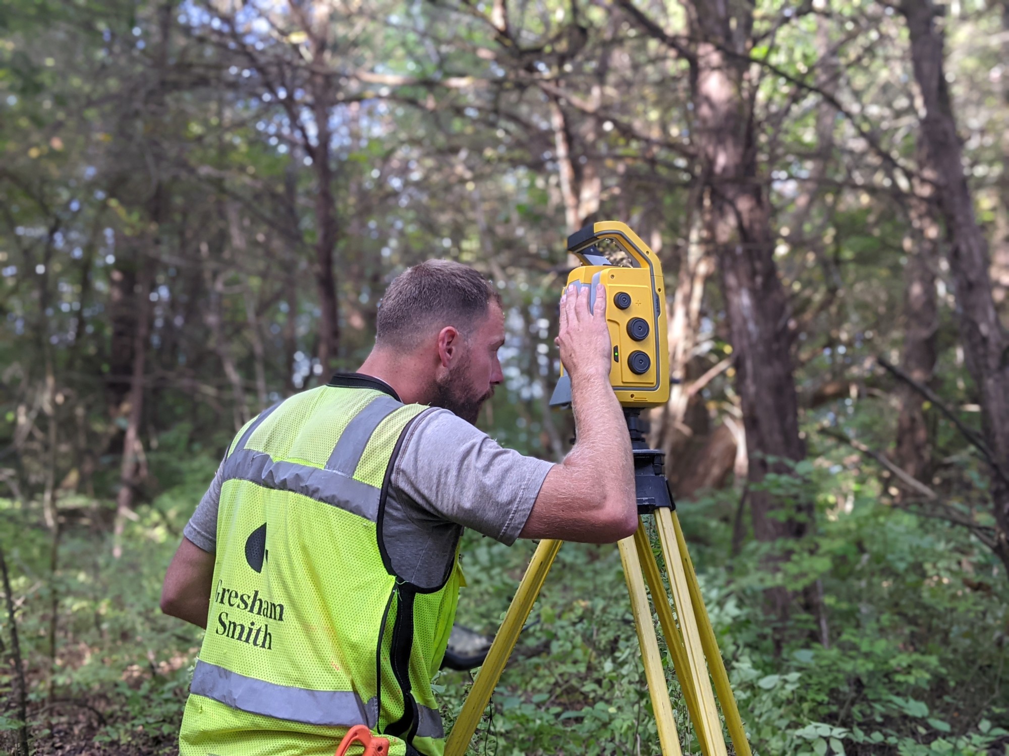
I think the future of land surveying is exciting. Given the advances of GPS and lidar technologies over the past 20 or so years, the way we acquire data is rapidly changing. Equipment is becoming smaller, lighter and faster, which certainly has its advantages. The flip side is that field crews are now comprised of one to two individuals, where they were three or more not so many years ago. This shift challenges the way we train personnel and can present safety concerns on some sites. As a whole, the profession is aging, but this also presents great opportunities for those who are willing to follow in the same footsteps. And if you know anyone, I think we’re hiring!
Chris Goetz, PLS
Survey Manager
Nashville, TN
I kind of stumbled into surveying when I was working with another Gresham Smith division and started helping the survey team during a busy time for them. After I spent a few months part time with them, I liked it so much I was able to transfer into the survey group full time. What initially interested me was being out in the field on a daily basis and seeing a project start from a vacant piece of land and turn into the designed use. Surveying allows you to be involved from the start of the project all the way through construction, and then conducting a final “as-built” once the project is finished. When I drive around town, it is satisfying to see a developed property and know that I was involved in its creation from the beginning. Surveying has so many different applications, whether it is creating topographic models of the earth, laying out the design plans on the ground to aid in construction, locating property corners to determine the property boundary or historical research of the property and its owners. It is interesting to use the same surveying procedures in so many different applications. I also really enjoy the physical aspect of being outside in the elements and the real hands-on effort it takes to collect survey data.
As in all, construction and design fields, technology and the tools we use to collect data for use in design continue to advance. The new technology and equipment we use daily are capable of collecting more precise data compared to 10 years ago. Also, the speed in which data is collected, processed and turned in to a final deliverable is much faster than before. I think the use of mass data collection from Unmanned Aircraft Systems (drones) as well as terrestrial and mobile laser scanning will become more frequently used. However, I hope surveying practitioners still keep the skills of efficiently and thoroughly collecting field data with boots-on-the-ground efforts as we traditionally have, and continue learning to use these advancing technologies to provide a precise representation of the elements we are mapping.
Nathan Guessetto
Survey Technician
Nashville, TN