We Plan, Design and Consult to Create Healthy and Thriving Communities
Genuine Ingenuity
We’re a team of architects, engineers and designers who develop innovative solutions for life’s most essential infrastructure and institutions.
Explore Our Purpose & Culture


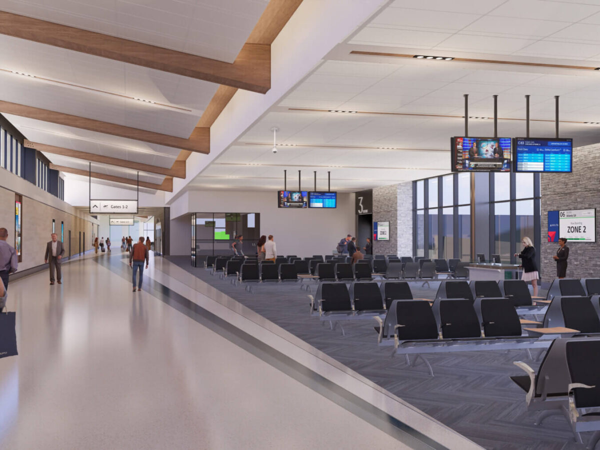
Aviation
Aviation
From reducing curbside congestion to improving wayfinding and expanding airside amenities, we’ve helped more than one-third of the nation’s top 100 airports leave a lasting impression on travelers.
Explore Aviation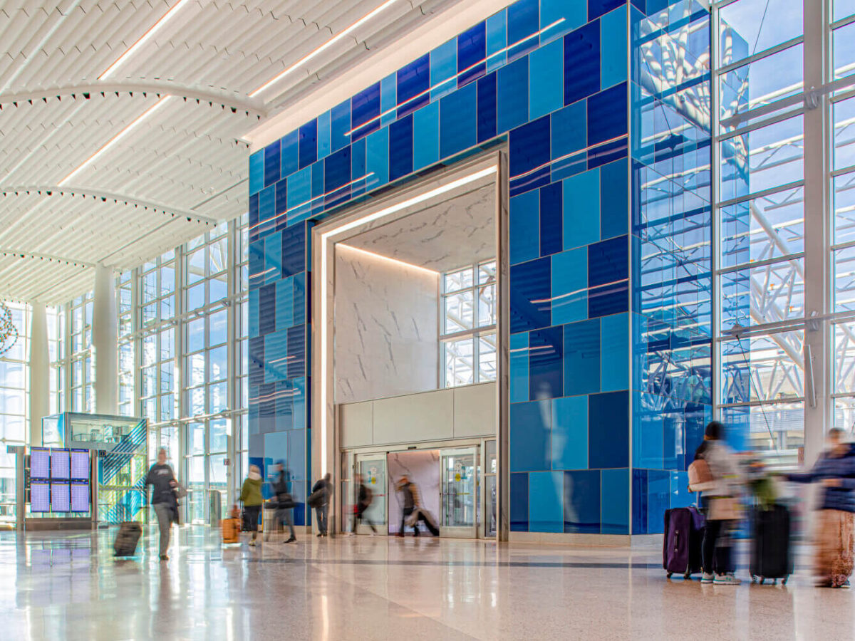
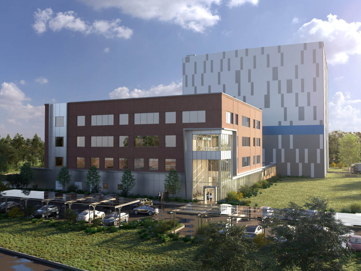
Building Engineering & Commissioning
Building Engineering & Commissioning
Ranging from mechanical, electrical, plumbing and structural engineering to post-construction commissioning, our services set a solid foundation for high-performing buildings.
Explore Building Engineering & Commissioning
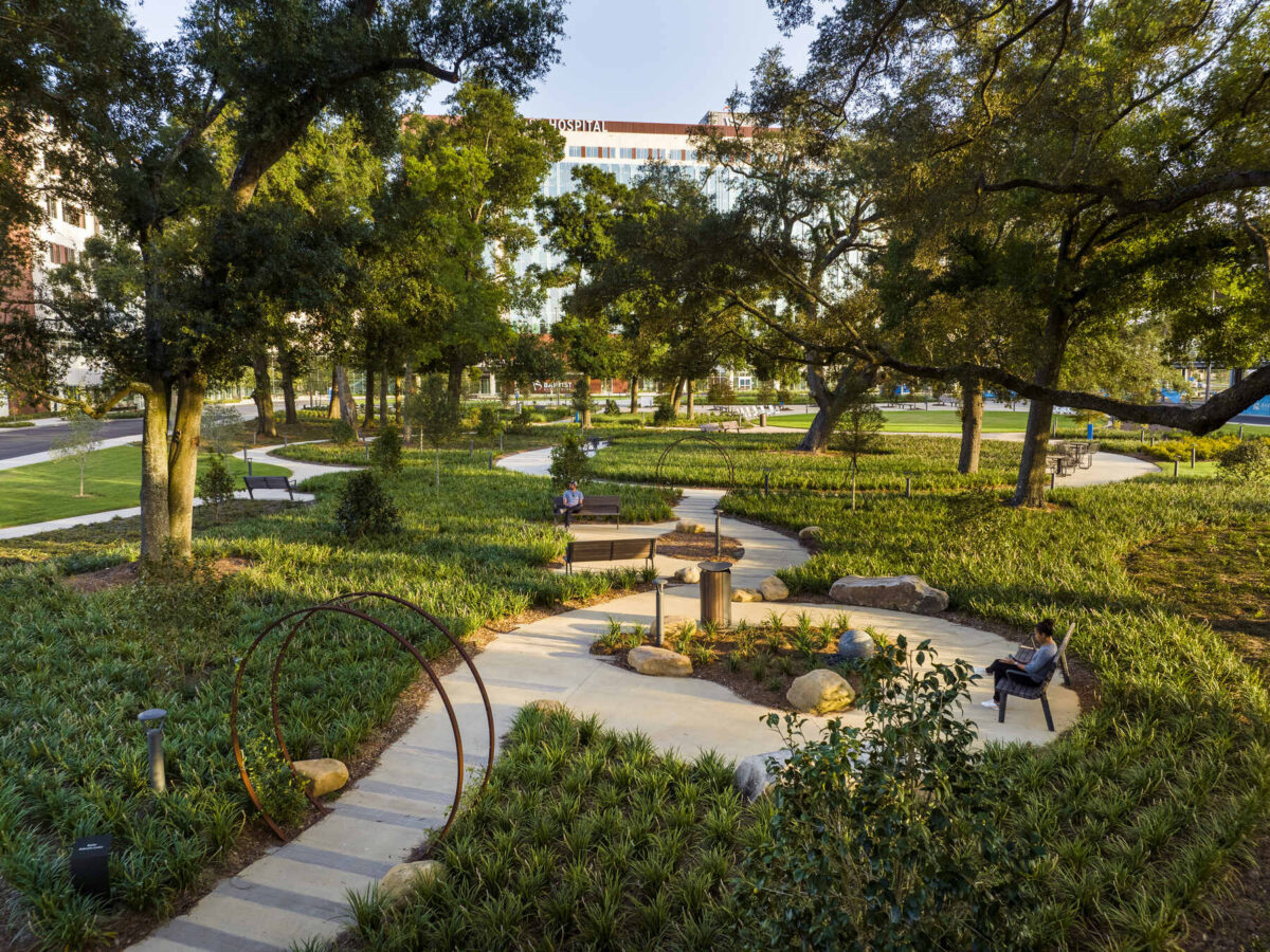
Civil Engineering & Landscape Architecture
Civil Engineering & Landscape Architecture
From creating site plans and designing vibrant streetscapes to incorporating sustainable, high-performing landscapes, we design spaces that nurture thriving communities.
Explore Civil Engineering & Landscape Architecture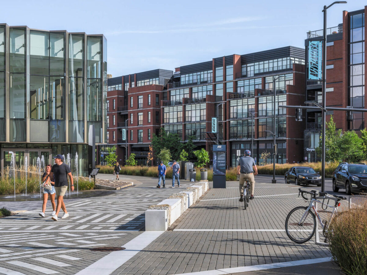
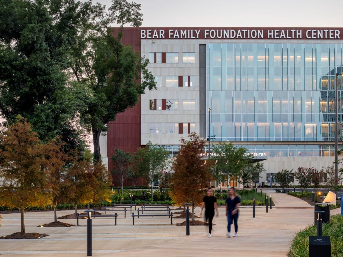
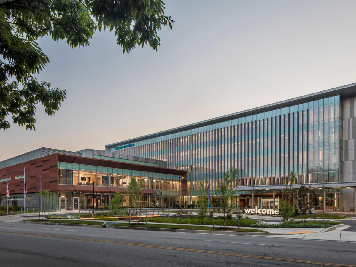
Healthcare
Healthcare
We improve the health of communities with research-based, value-added solutions that benefit health systems, care providers and patients alike.
Explore Healthcare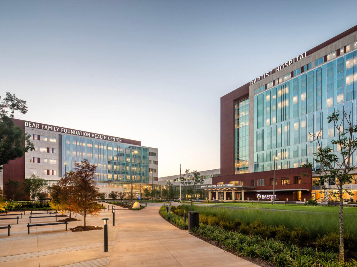
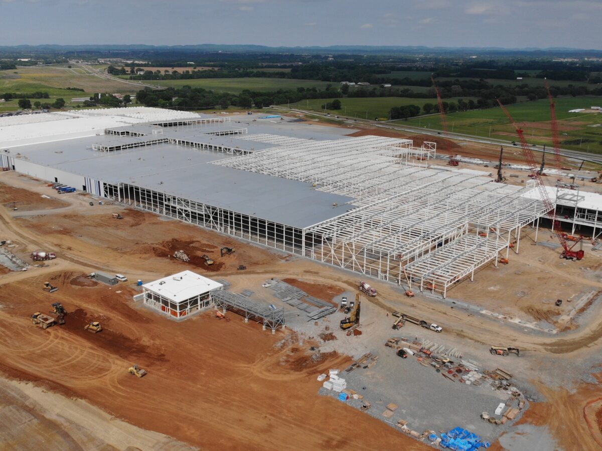
Industrial
Industrial
Specializing in customized solutions, our expertise is focused on the food & beverage/FDA-regulated, advanced manufacturing, mobility and energy sectors—collectively known as FAME.
Explore Industrial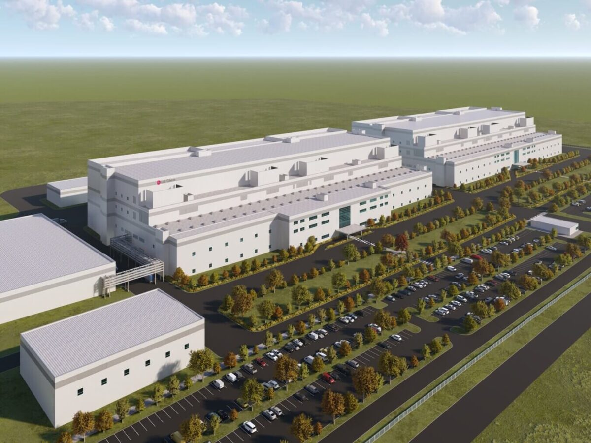
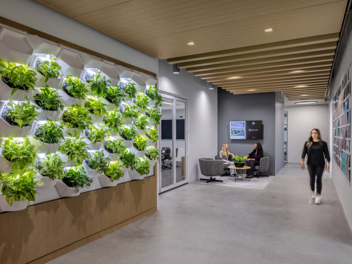
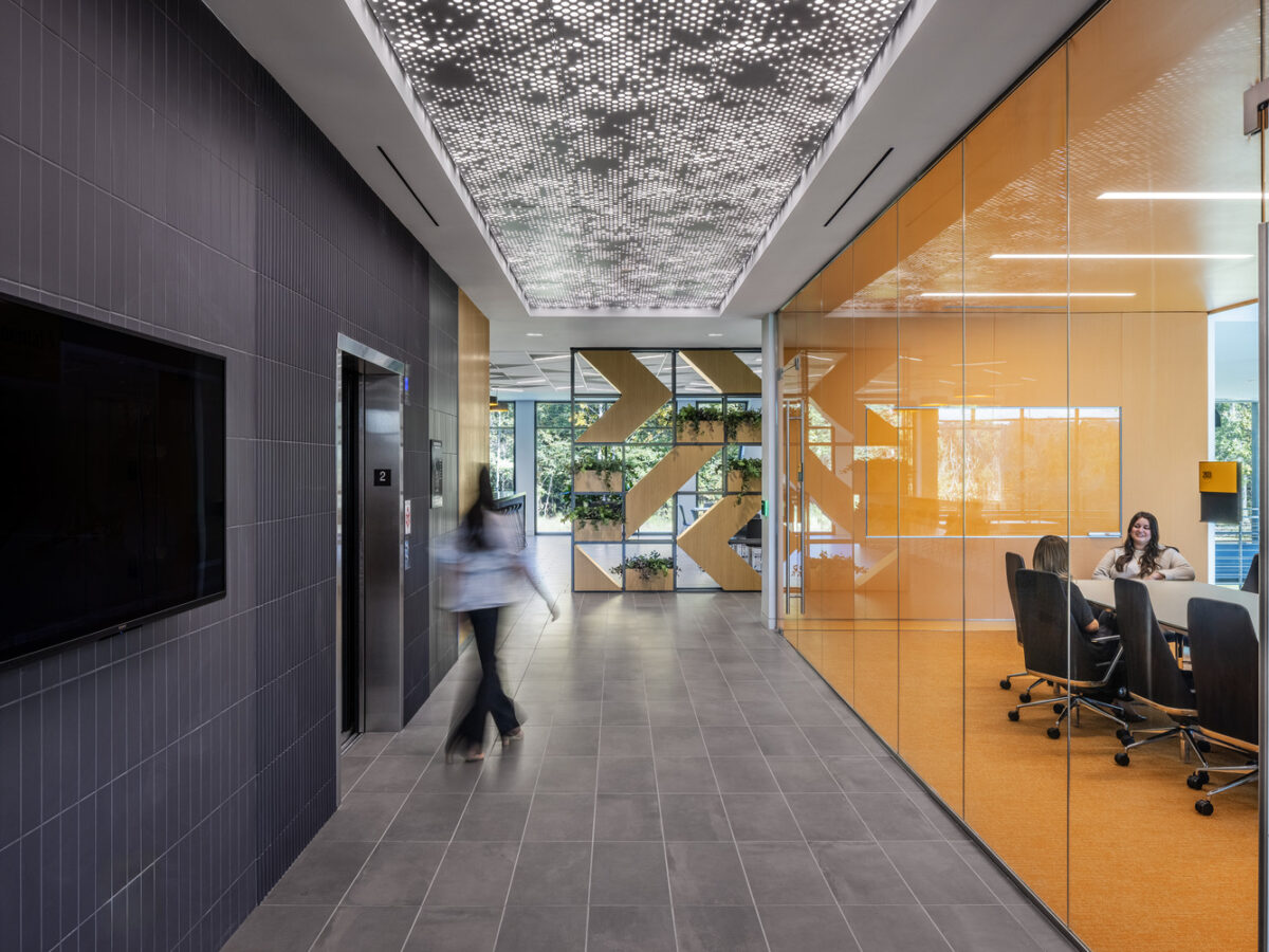
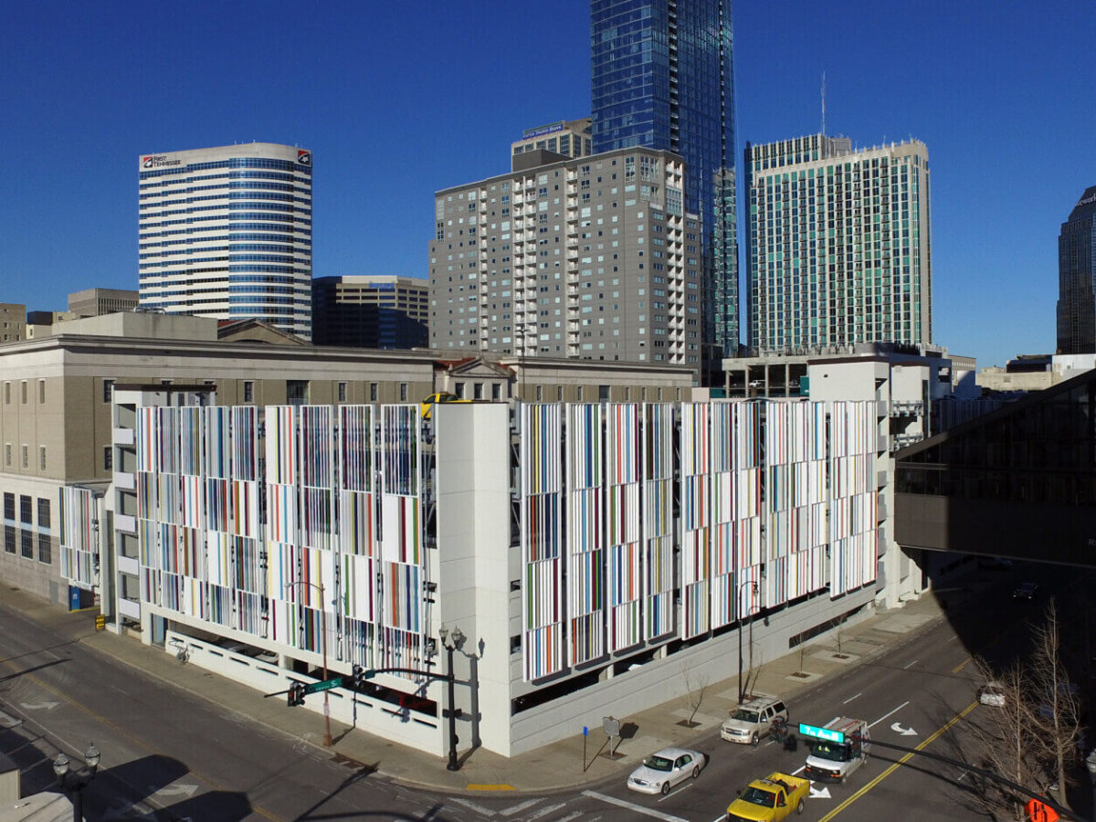
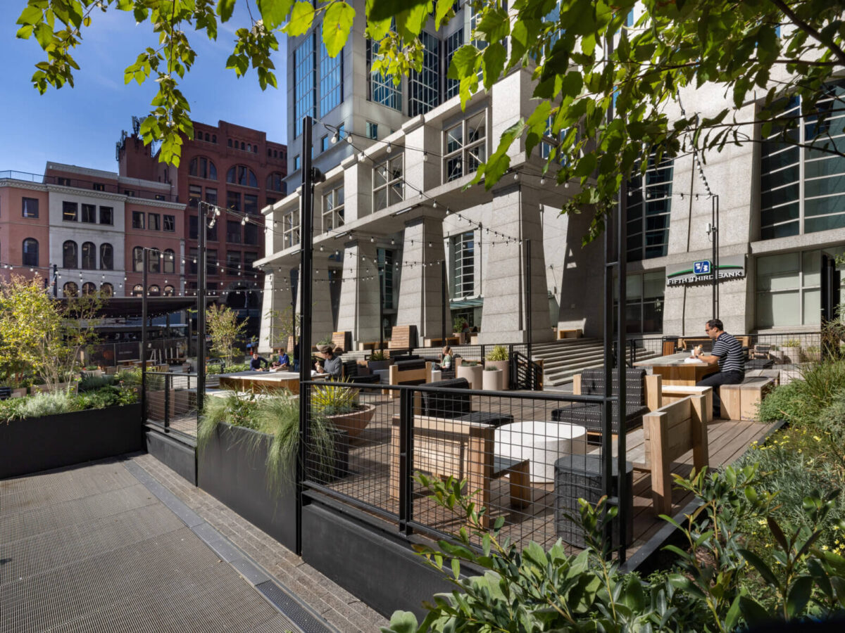
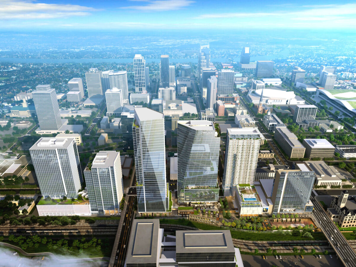
Life & Work Places
Life & Work Places
We design spaces where life, commerce and community come together.
Explore Life & Work Places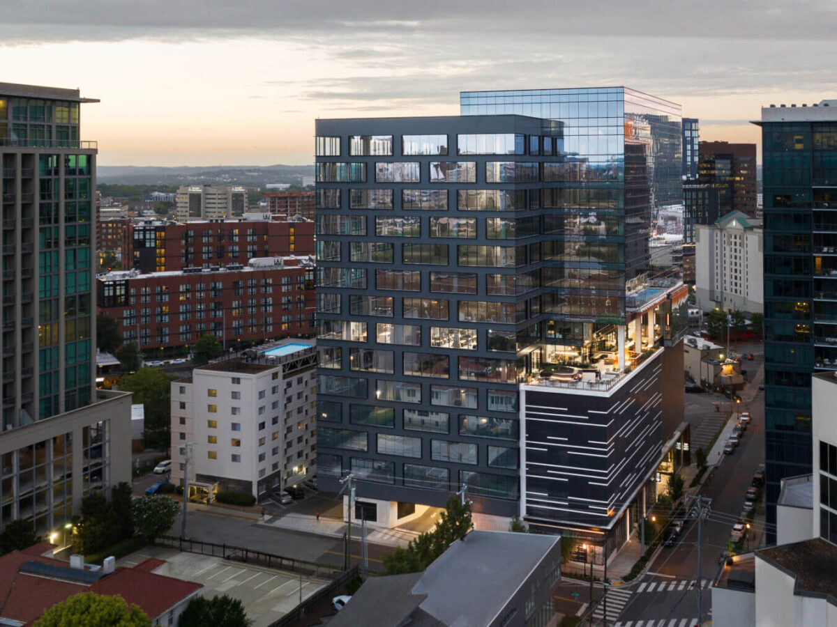
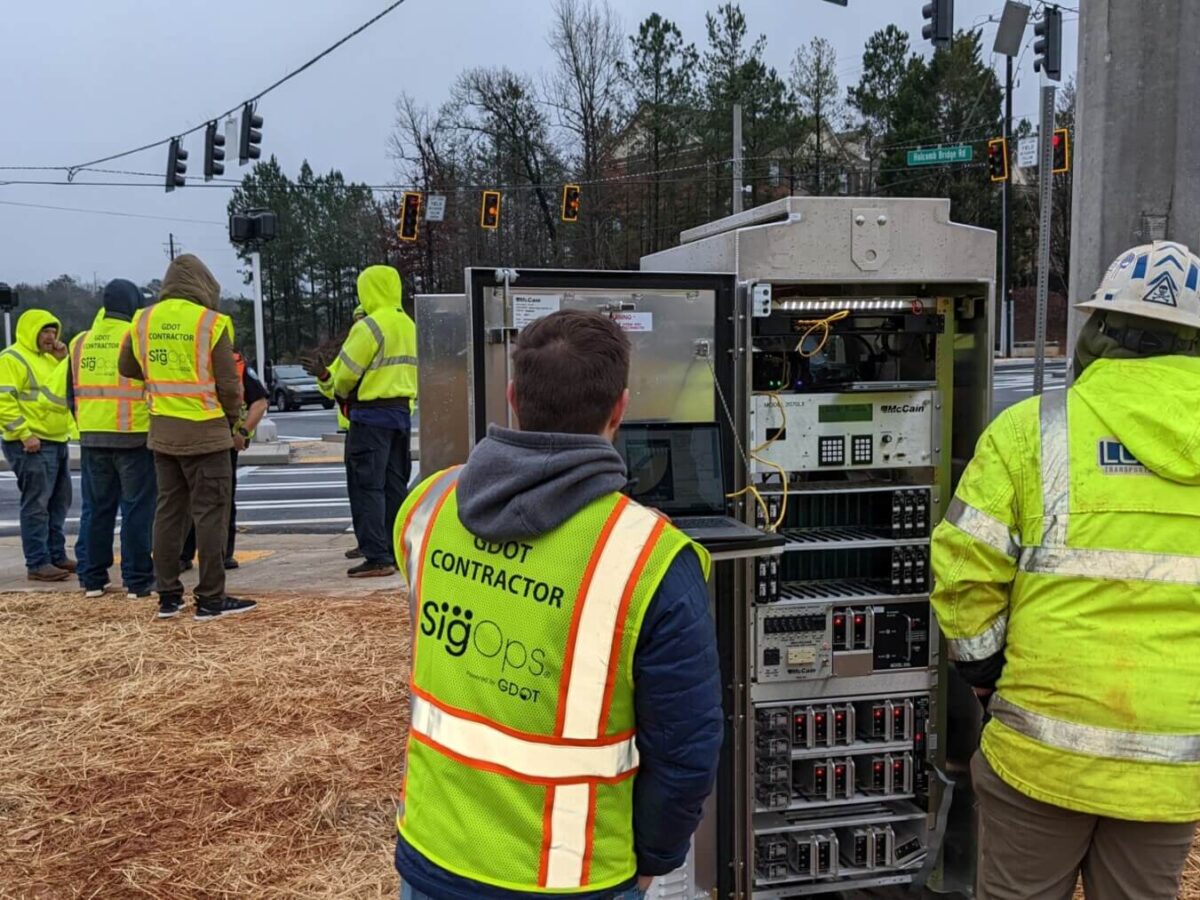
Transportation
Transportation
We offer practical, forward-thinking and innovative solutions for a wide range of infrastructure projects, including interstates, bridges, bike paths, roundabouts and utilities.
Explore Transportation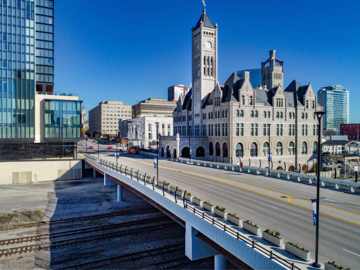
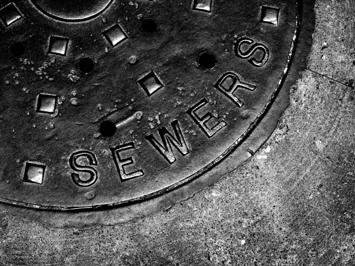
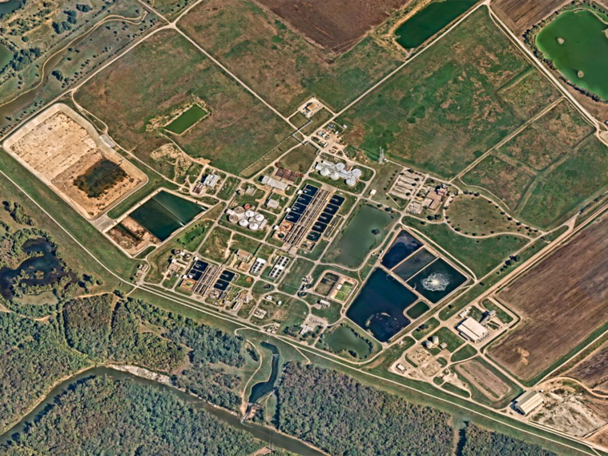
Water & Environment
Water & Environment
From maintaining clean drinking water and treating wastewater to managing stormwater, we improve essential infrastructure to keep communities healthy and resilient.
Explore Water & Environment
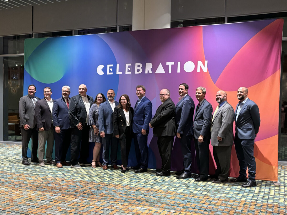
Genuine People, Genuine Opportunities
Loving where you work, who you’re working with, and what you’re working on is important to us, which is why we put our people first. From professional growth and development support and opportunities to give back to your community, to flexible work schedules and competitive benefits, we have a genuine interest in the whole you.
Explore Life at Gresham Smith